NASA’s Jet Propulsion Laboratory – Month in Review, What’s Up – February, 2022, Caltech Names Laurie Leshin Director of JPL, NASA’s MRO Finds Water Flowed on Mars and more
JPL News – Month in Review February 1, 2022
NASA’s Jet Propulsion Laboratory <jplnewsroom@jpl.nasa.gov>
|
|
||||||||||||||||||||||||||
|
|
||||||||||||||||||||||||||
|
||||||||||||||||||||||||||
This message was sent to ingpeaceproject@gmail.com from jplnewsroom@jpl.nasa.gov
NASA’s Jet Propulsion Laboratory
NASAJPL
4800 Oak Grove Dr
Pasadena, CA 91109
RELATED NEWS
NASA Telescope Spots Highest-Energy Light Ever Detected From Jupiter
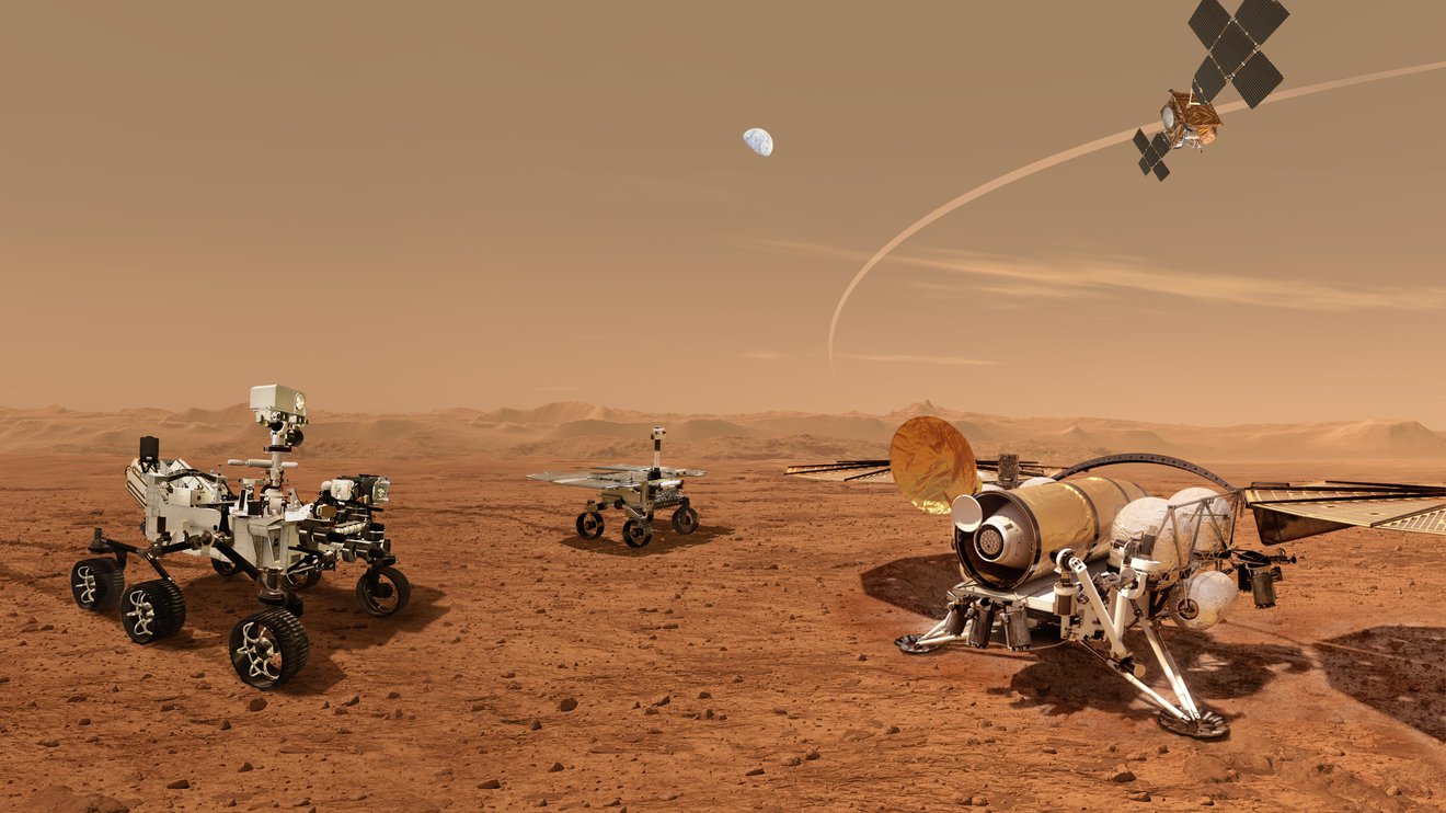
NASA Selects Developer for Rocket to Retrieve First Samples From Mars
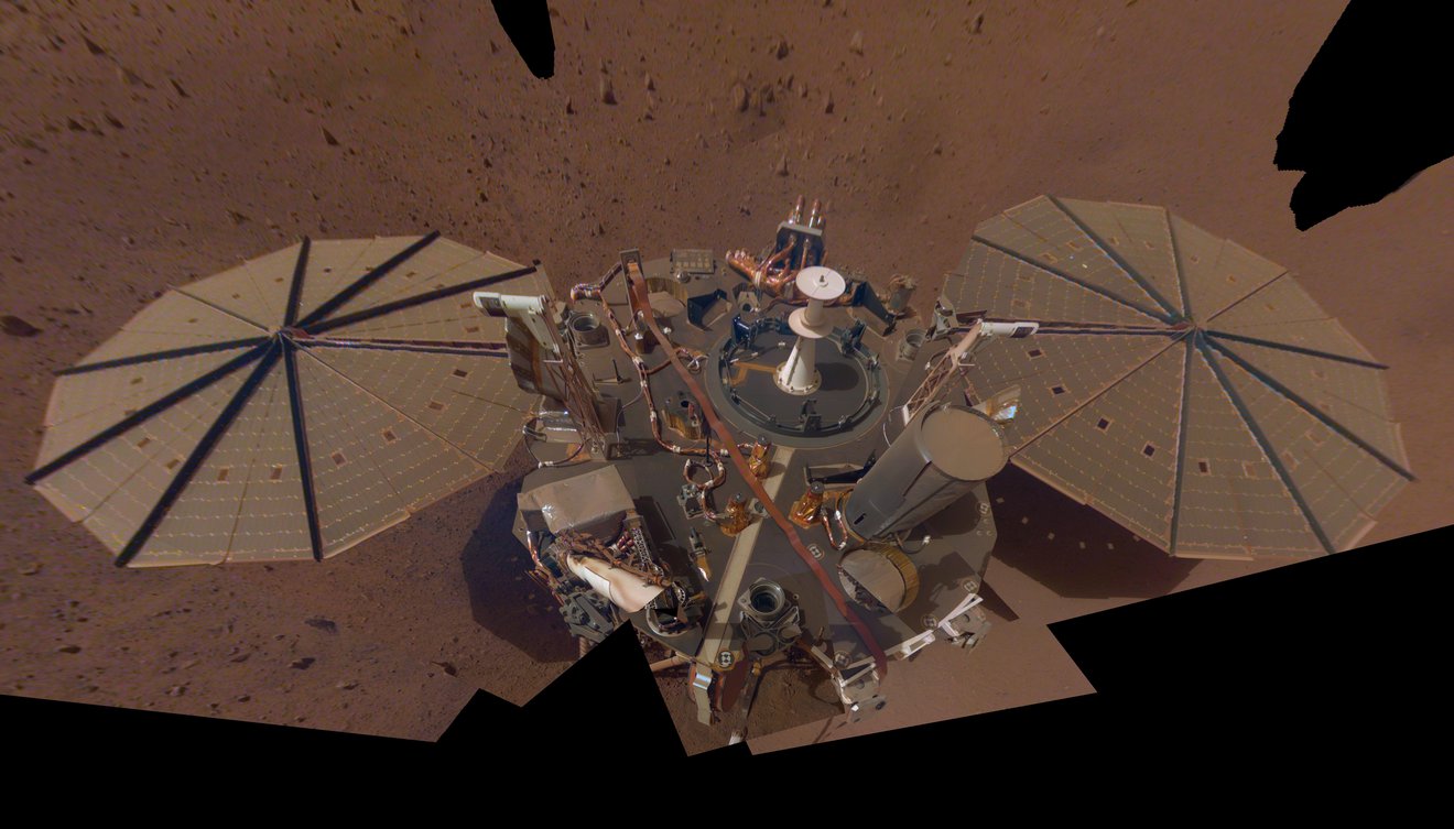
NASA’s InSight Enters Safe Mode During Regional Mars Dust Storm
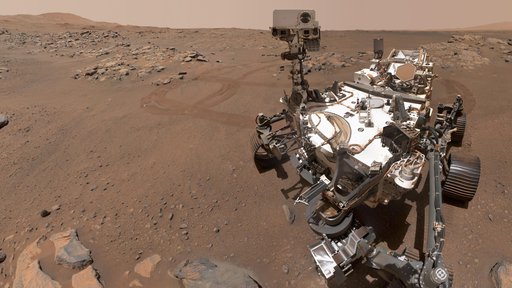
Biggest Moments on Mars: NASA’s Perseverance Rover 2021 Year in Review
NASA-JPL’s ‘On a Mission’ Podcast New Season Rolls Out With Mars Rovers
NASA’s Juno Spacecraft ‘Hears’ Jupiter’s Moon
NASA’s Perseverance Mars Rover Makes Surprising Discoveries
NASA’s Ingenuity Mars Helicopter Reaches a Total of 30 Minutes Aloft
NASA Begins Testing Robotics to Bring First Samples Back From Mars
Icy Cliffs on Mars
Jan. 21, 2022
This area, on the western edge of Milankovic Crater on Mars, has a thick deposit of sediment that covers a layer rich in ice. The ice is not obvious unless you look in color.
In the red-green-blue images that are close to what the human eye would see, the ice looks bright white, while the surroundings are a rusty red. The ice stands out even more clearly in the infrared-red-blue images where it has a striking bluish-purple tone while the surroundings have a yellowish-grey color.
For more information, please visit the following link:
https://www.jpl.nasa.gov/images/pia25088-icy-cliffs-on-mars
Possible Mud Volcanoes on Mars
Jan. 21, 2022
This HiRISE image shows a flat plain with various low, lumpy mounds. Some of them have distinct colors and tones unlike the surrounding plains, suggesting that they are made up of a different type of material.
While the origin of these mounds is not certain, one idea that seems to fit best is that they are deposits left after eruptions of wet sediments onto the surface. This can happen when thick deposits of wet sand and mud are shaken, say from a meteorite impact, and the ground briefly loses its strength, allowing dirty water to be expelled from the deposit. On Earth, this process of “liquefaction” can happen during earthquakes.
For more information, please visit the following link:
https://www.jpl.nasa.gov/images/pia25087-possible-mud-volcanoes-on-mars
A Greenwich Observatory on Mars
Jan. 21, 2022
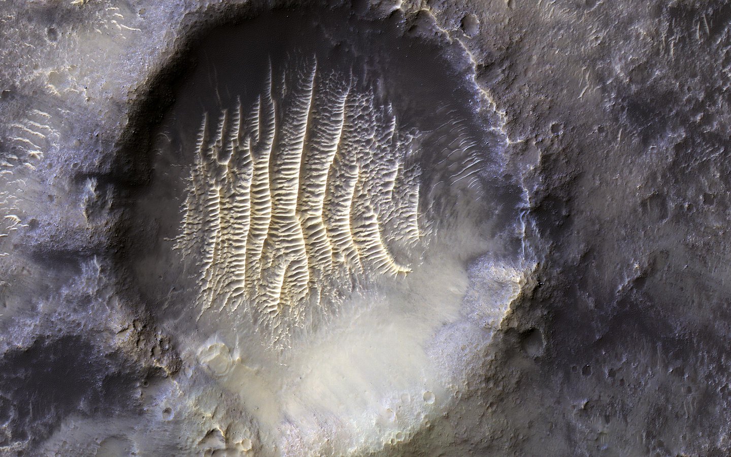
The crater in the center of this HiRISE image defines where zero longitude is on Mars, like the Greenwich Observatory does for the Earth.
Originally, the larger crater that this crater sits within, called Airy Crater, defined zero longitude for the Red Planet. But as higher resolution images became available, a smaller feature was needed. This crater, called Airy-0 (zero), was selected because it would require no adjustment of existing maps.
For more information, please visit the following link:
https://www.jpl.nasa.gov/images/pia25090-a-greenwich-observatory-on-mars
Ancient Rivers
Dec. 20, 2021
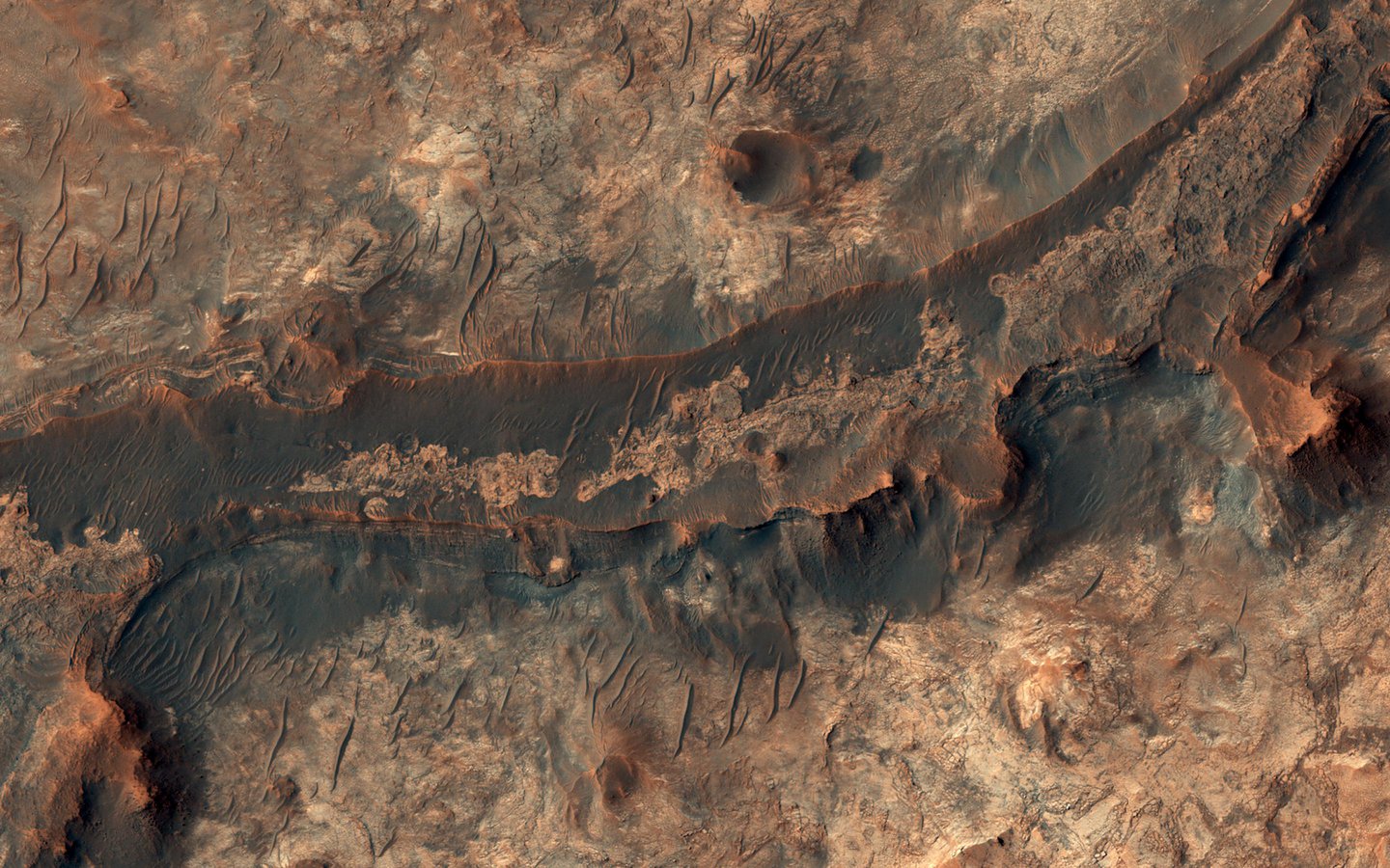
Billions of years ago, a river flowed across this scene in Mawrth Vallis. Like on Earth, these river beds can get filled up with rocks that are cemented together. After Mars became a colder, drier place and the river disappeared, the rocky river bed remained.
In this HiRISE image, we see a dark ridge snaking across the surface. The dark ridge is the old river bed. It is raised above its surroundings now because these softer surroundings have been eroded away, whereas the rocky river bed resists that. Scientists call these ridges inverted channels and many of them are visible in this area of Mars.
For more information, please visit the following link:
https://www.jpl.nasa.gov/images/pia25081-ancient-rivers
Dust Storm and Jezero Crater
Jan. 19, 2022
 Multiple images from the Mars Color Imager (MARCI) aboard NASA’s Mars Reconnaissance Orbiter (MRO) were used to generate this view of a regional dust storm obscuring Syrtis Major and Jezero Crater (white circle). The images were acquired on Jan. 9, 2022.
MRO creates global maps of Mars but roll maneuvers for targeted observations produce gaps in the coverage, which appear as black gores in the maps. On some days there are data drops where partial or full orbits of coverage are missing. Green and purple observed in the south polar region indicate saturated pixels.
For more information, please visit the following link:
https://www.jpl.nasa.gov/images/pia25068-dust-storm-and-jezero-crater








Leave a Reply